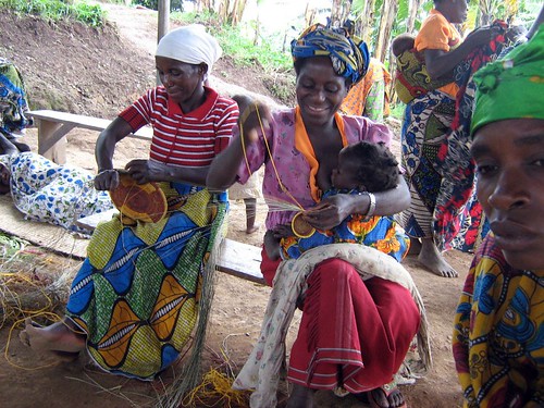
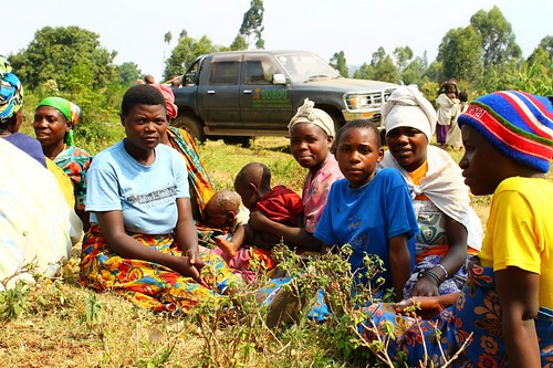
These past couple of weeks, I joined Winfred, UOBDU’s land rights officer, and Henry, UOBDU’s community organizer, on some of their visits to the communities to collect participants for the next mapping project, this time of Mgahinga Gorilla National Park. We went to the communities that have members most likely to have good memories and knowledge of Mgahinga, and then asked them to nominate their selections.
Seven communities will participate in filling in their remembered knowledge of the forest’s interior. With the exception of a few communities, there are 10 members from each that have been selected for their knowledge. The Kenyans, who advised on the Bwindi map, are also coming in to assist with the project as well, so it’s all quite a big deal.
The whole project begins tomorrow (!).
Today, I was helping Winfred go over the itinerary that, right now, includes two straight weeks of activity (including weekends). Each community will spend a day and a half filling in their knowledge before handing the reigns over to the next. Transport, food, and accommodation have to be coordinated, which is easier said than done. The communities live scattered all around Kisoro, some close, others quite far. Yet, somehow things always seem to come together without fanfare.
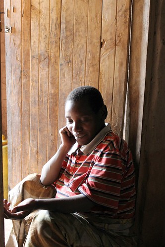
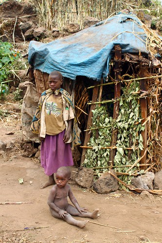
Today, a young German guy who has been interning with Studio Edirisa for the past 11 months came in to interview a Mutwa, named Christopher Kangundu, about this next mapping project. One of the questions he asked Christopher was, “What are your hopes for this map?” Among other things, Christopher answered that he hopes the map will serve as a way for today’s Batwa children to know what their heritage is. As he said that, it struck me that the younger Batwa don’t know the forest in a personal way, but only through stories they are told by their parents and grandparents. And largely being an oral society, and with illiteracy still commonplace, the Batwa’s memories could all but fade if something concrete and permanent, that comes from the Batwa themselves, isn’t created. Thus, it strikes me as quite wonderful that the Bwindi and Mgahinga maps are being created, and in such a collaborative way.
Posted By Dina Buck
Posted Aug 1st, 2011


